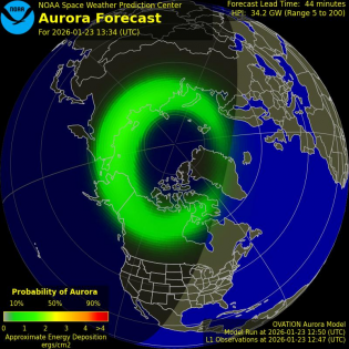
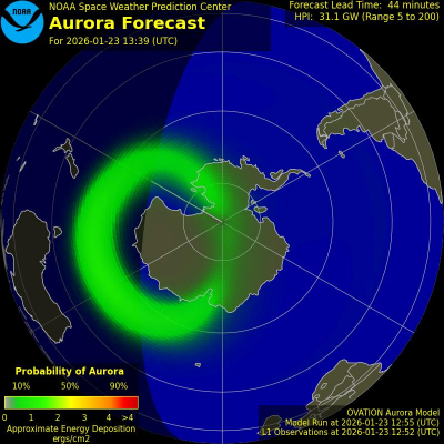
Auroral Activity Extrapolated from NOAA POES
Northern Hemi Auroral Map
|
Southern Hemi Auroral Map
|
Instruments on board the NOAA Polar-orbiting Operational Environmental Satellite (POES) continually monitor the power flux carried by the protons and electrons that produce aurora in the atmosphere. SWPC has developed a technique that uses the power flux observations obtained during a single pass of the satellite over a polar region (which takes about 25 minutes) to estimate the total power deposited in an entire polar region by these auroral particles. The power input estimate is converted to an auroral activity index that ranges from 1 to 10.
Credits:
Space Weather Images and Information (excluded from copyright) courtesy of: NOAA / NWS Space Weather Prediction Center, and SOHO (ESA & NASA).Adapted from Space Weather PHP script by Mike Challis